Tech for Democracy
German-Israeli Research Initiative on Digital Democracy
Start: 01/2020
End: 03/2023
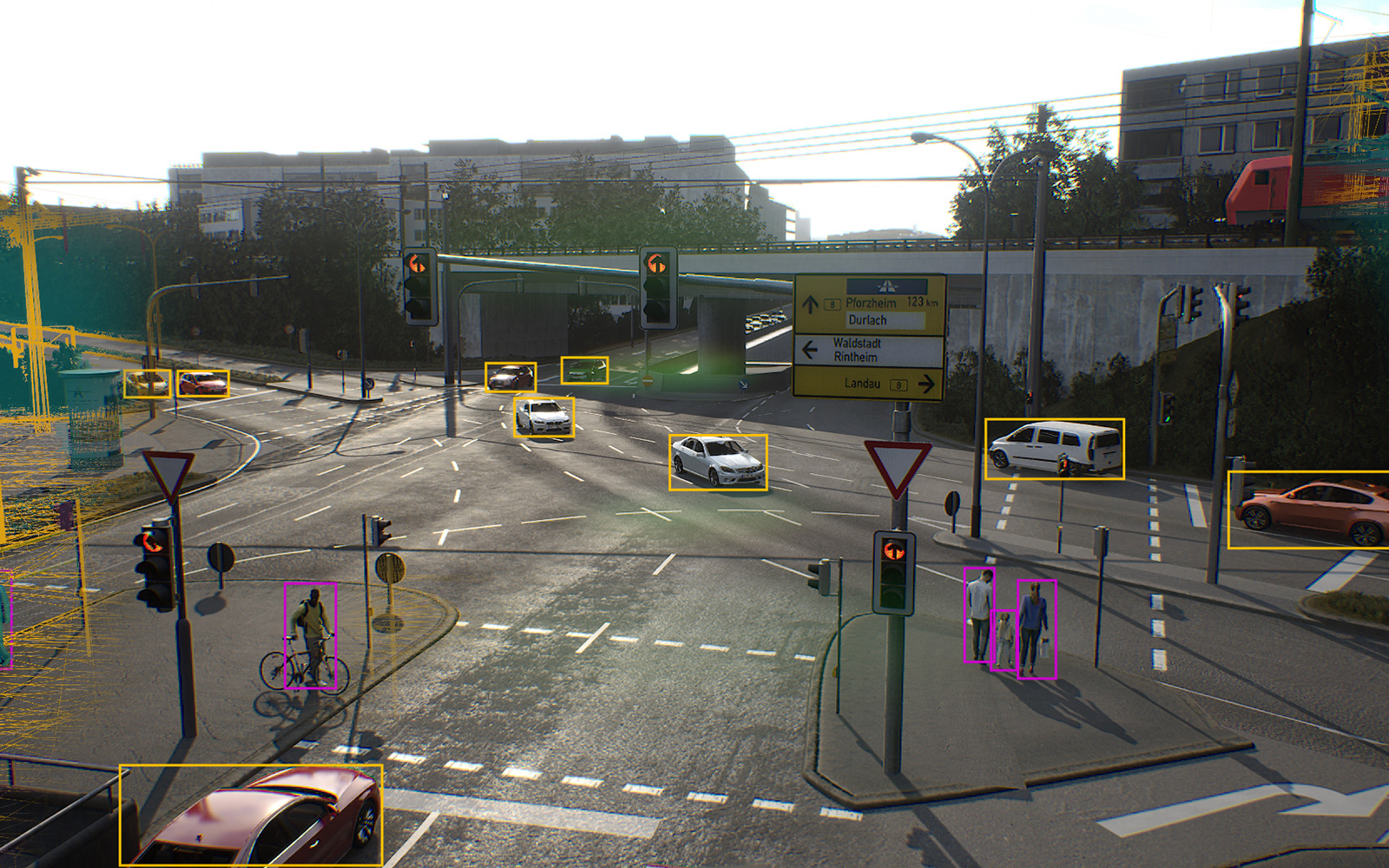
After an earthquake, it is crucial to quickly and reliably perform an initial situation assessment to begin targeted damage management measures. Reliable data on the extent of potential damages is essential in this step. To this end, the LOKI project is developing an interdisciplinary system for airborne information gathering in the event of a disaster.
Drone fleets provide a means for delivering 3D and image data of the affected area. The LOKI project develops methods that enable drones to provide a timely overview of the overall damage within the affected area and detailed assessments and classifications of the damage to critical infrastructures like bridges and roads, health care facilities, and public institutions. Building-specific damage characteristics and crowdsourcing methods for analyzing and evaluating the information result in rapid damage classification. Towards this end, methodological approaches for crowdsourced micro-mapping and automated methods are being researched and tested in German and international assessment areas. The use of open interfaces and standards supports the long-term use and expandability of the system.
In the project, the FZI is developing flexible mission planning approaches that enable the automated and situation-sensitive coverage of the affected area by a fleet of drones. Moreover, the FZI studies how flight characteristics of drones can be integrated into mission planning, ensuring that the plans determined are flyable and, above all, time-efficient.

Funding notice:
The LOKI project is funded by the Federal Ministry of Education and Research (BMBF).

Project partners:

German-Israeli Research Initiative on Digital Democracy
AI in the Mobility Sector

Supercomputing Platform for Highly Automated Vehicles

Cybersecurity for SMEs
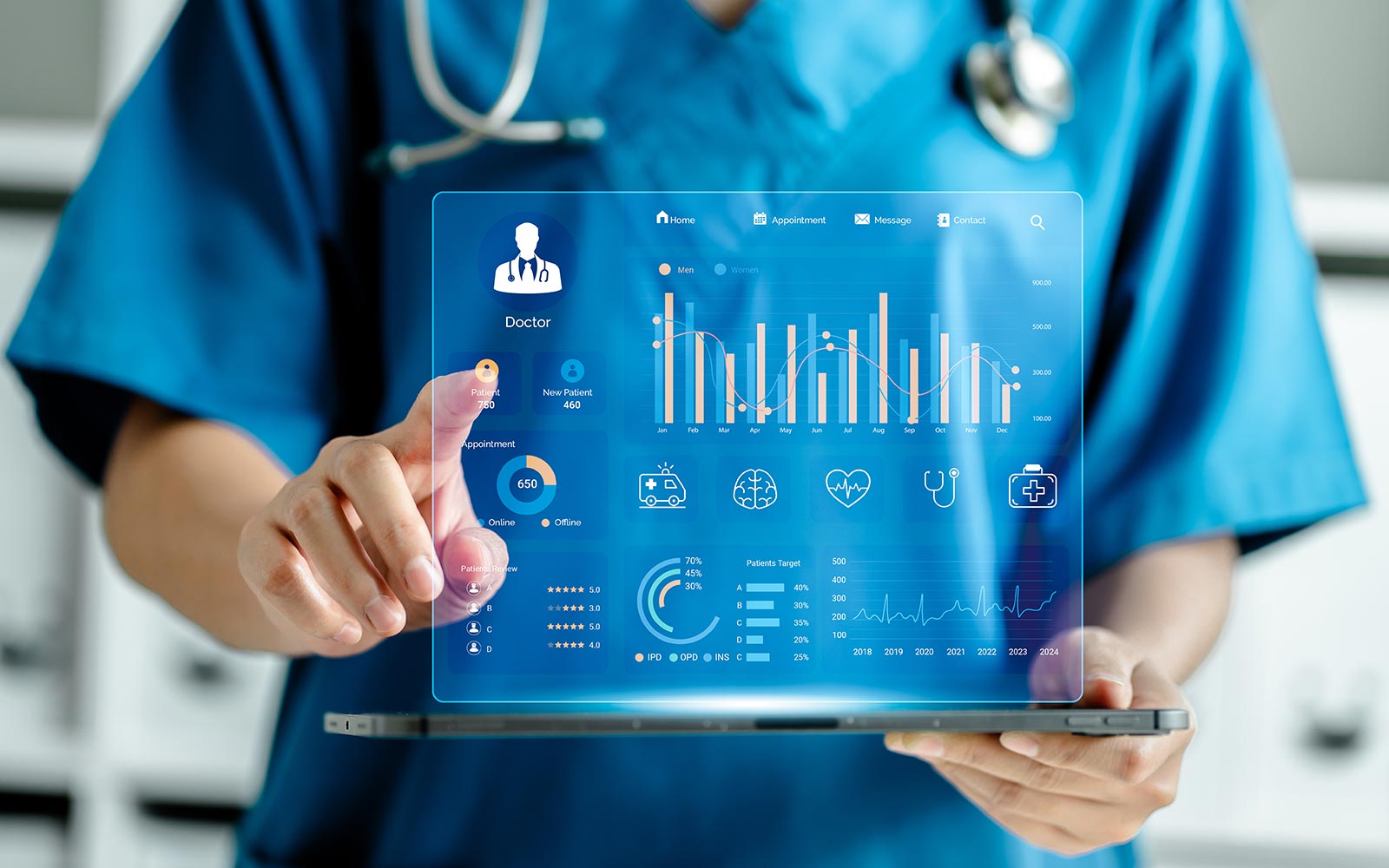
Data management repository for care-supporting AI applications

Innovation with Cybersecurity for SMEs in Baden-Württemberg
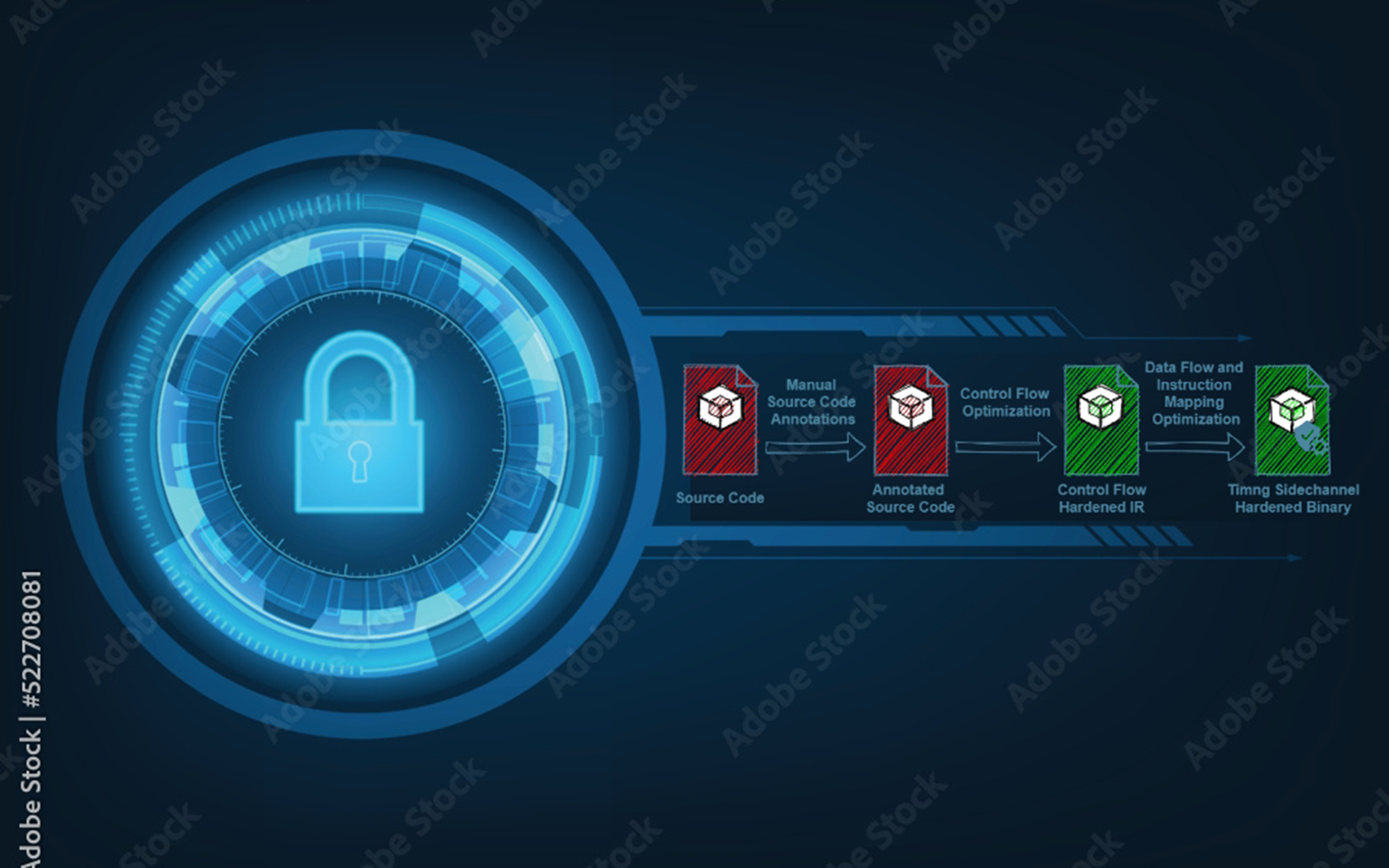
Hardening of embedded RISC-V software by means of code transformations
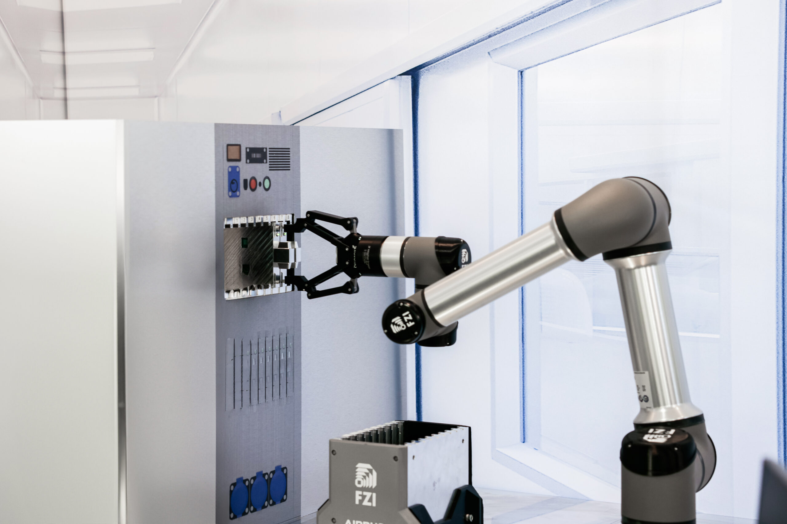
Automatic Integration of Avionik Racks via Artificial Intelligence
Buildings as efficient and interoperable components of the future energy system

Hybrid building twins for increased energy efficiency